

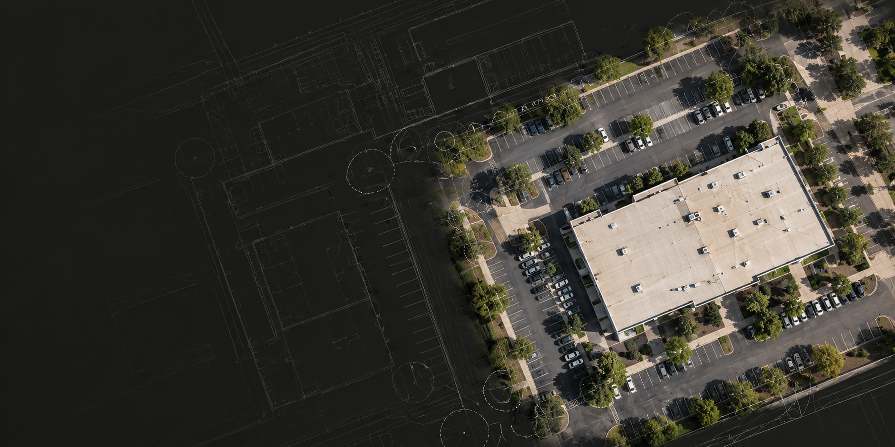

BUILT FOR CLEARER SITE DECISIONS
We turn aerial imagery into practical visual records for property, construction, and facilities teams. From a single visit to ongoing monitoring, we plan each capture around your needs and organize the imagery so it’s easy to review conditions, track change, and coordinate next steps.
FROM CAPTURE TO CLARITY
THE APPROACH

Useful imagery starts with a clear purpose. We define the scope, capture the views that matter, and deliver records your team can put to work.
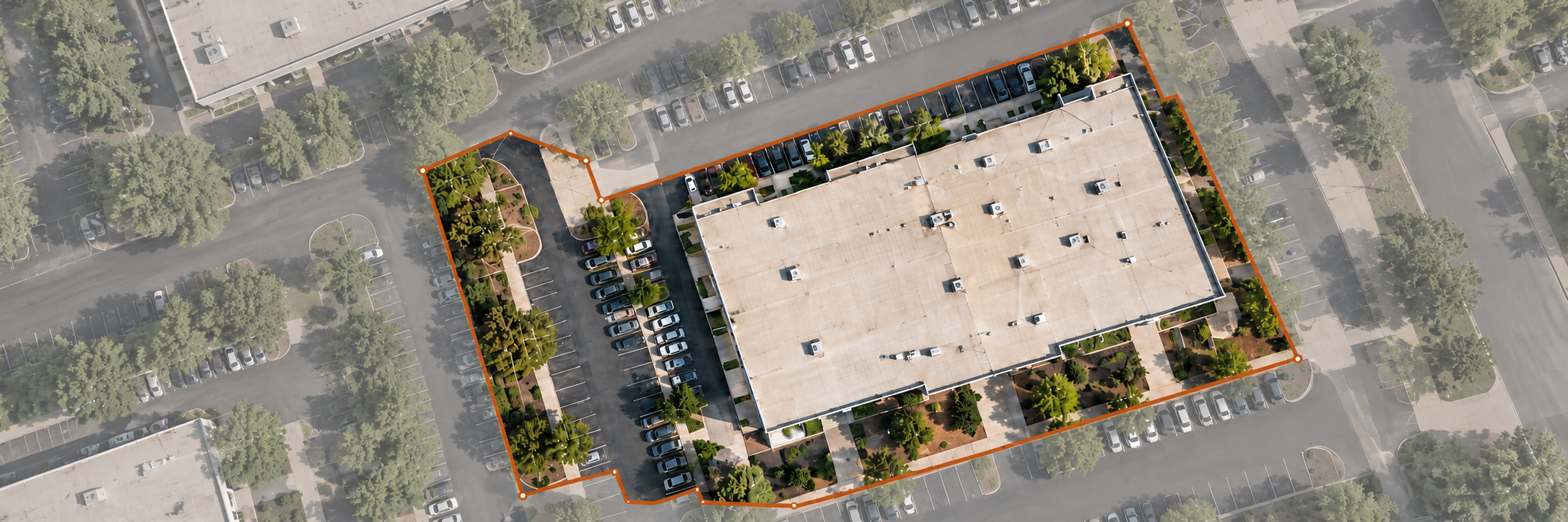
We confirm your priorities, site boundaries, and timing, then define the coverage and deliverables before the visit.
01
PLAN
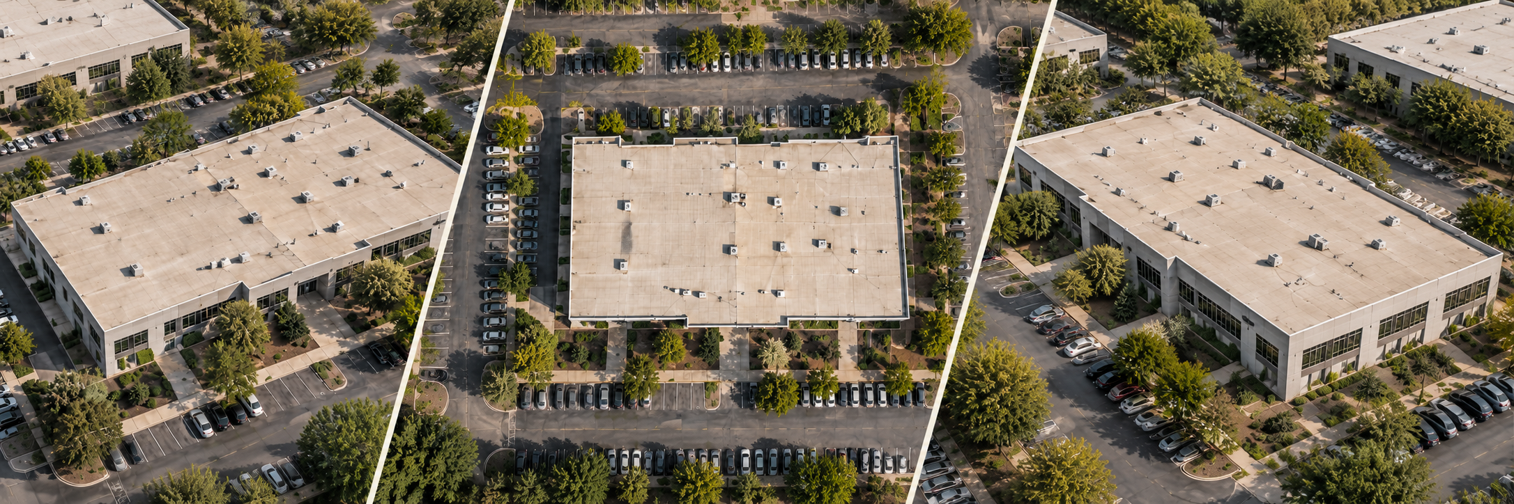
We document the site through planned aerial views and focused detail, using consistent viewpoints when repeat visits call for comparison.
02
CAPTURE
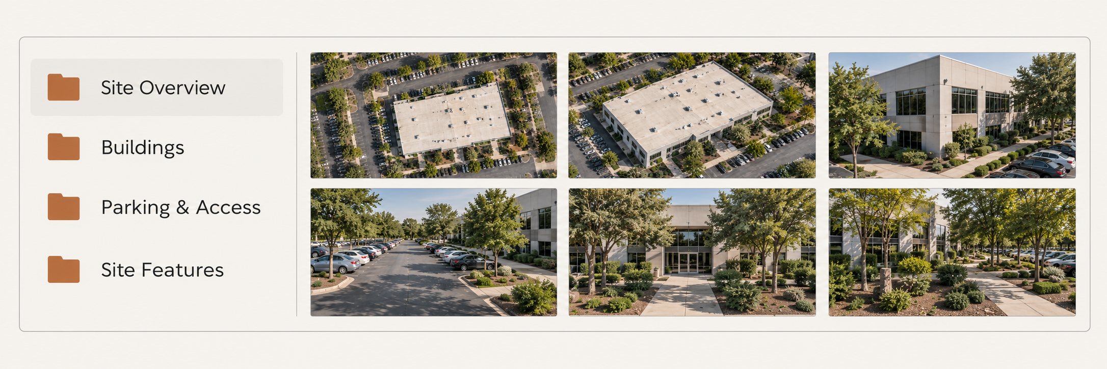
We label and arrange imagery by location, subject, and visit date so your team can find, compare, and share what matters.
03
ORGANIZE
A RELIABLE FRAMEWORK FOR VISUAL RECORDS
OPERATING STANDARDS
We agree on coverage, deliverables, and intended use before work begins. Access constraints, capture limitations, and any changes to the plan are communicated so you know what to expect.
01
CLEAR SCOPE

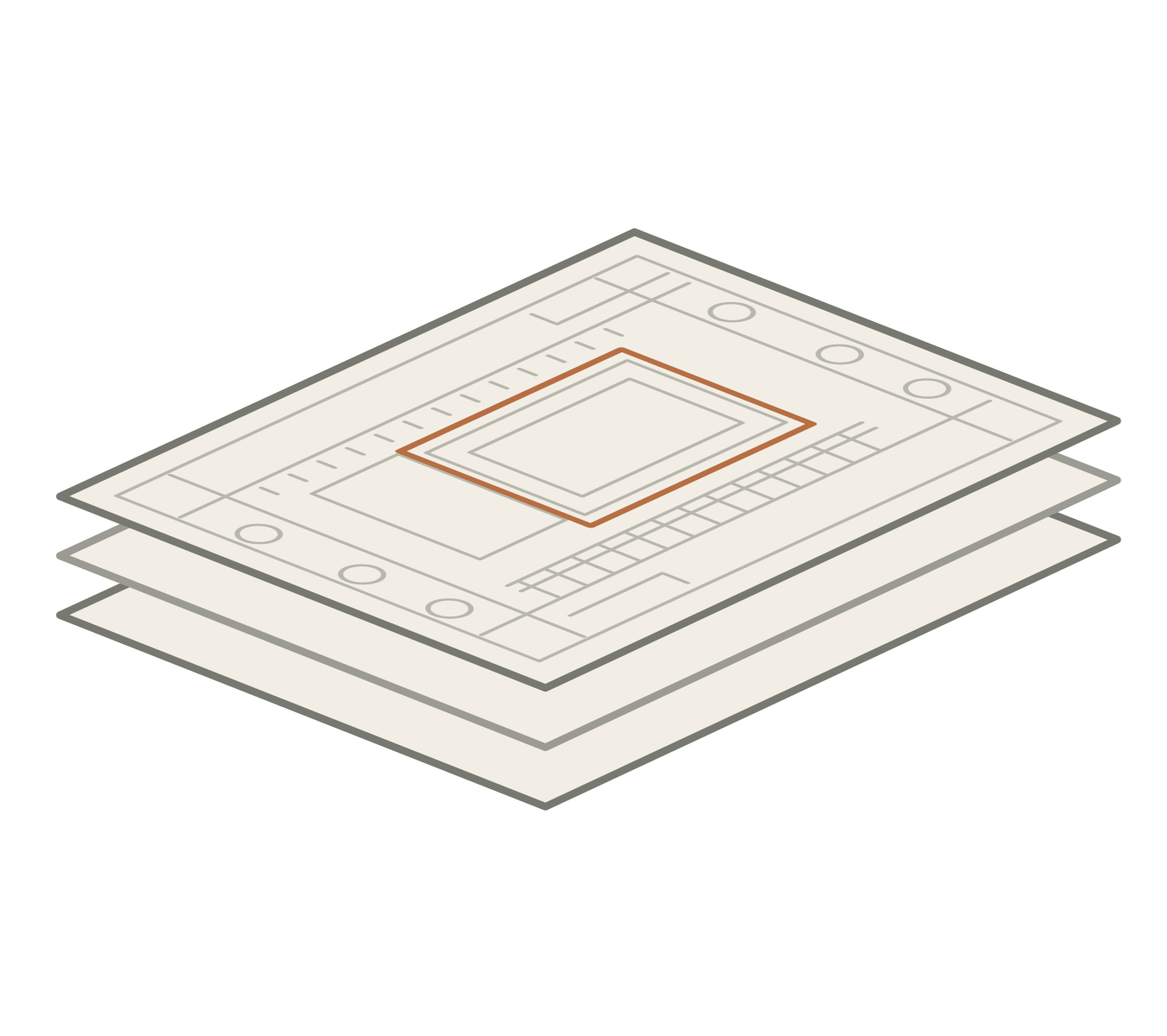
Defined shot lists and planned viewpoints keep coverage focused and repeatable. We check imagery for clarity and completeness against the agreed scope before delivery.
02
CONSISTENT COVERAGE
03
ORDERED DELIVERY
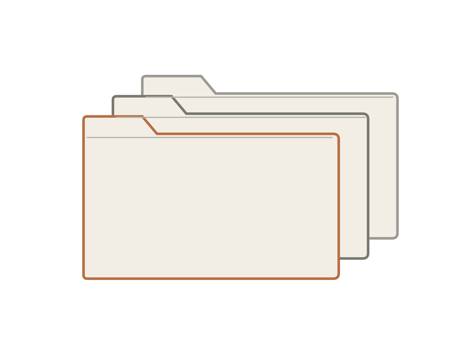
Consistent file names, dated folders, and clear grouping make each delivery easy to navigate. Records stay organized across visits, ready for review, comparison, and sharing.

CLEAR, PROFESSIONAL AND WITHIN SCOPE
CREDENTIALS & BOUNDARIES

FAA PART 107
Flights conducted by an FAA-certificated remote pilot, with airspace and site conditions reviewed before each operation.

INSURED
Commercial drone liability insurance in place, with proof of coverage available upon request.

VETERAN OWNED
Veteran-owned and independently operated, with an emphasis on preparation, clear communication, and follow-through.
We document visible exterior conditions across buildings, roofs, grounds, and worksites. Organized imagery gives your team a shared reference for property oversight, project coordination, and tracking change.
Our services focus on visual documentation and do not include diagnostic, engineering, land surveying, or regulatory assessments.